While much of the UAE continues to swelter under intense summer heat, residents in the eastern regions have something to look forward to: some rain.
According to the National Centre of Meteorology (NCM), conditions today will be generally fair to partly cloudy, with convective clouds expected to develop over eastern parts of the country, bringing the possibility of rainfall. Some inland areas could also experience rain later in the afternoon.
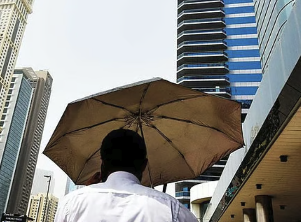
Temperatures near 46°C
Despite the rain forecast, temperatures are expected to stay exceptionally high across most of the UAE.
Dubai is forecast to reach a scorching 45°C, while Abu Dhabi and Sharjah are expected to reach 44°C. The hottest locations today will be Al Ain and Liwa, where temperatures could climb to 46°C.
Fujairah is likely to be the coolest emirate thanks to the expected cloud cover and rainfall, with temperatures peaking at around 38°C.
Across the country, coastal areas are expected to see temperatures between 37°C and 43°C, while inland regions could reach between 44°C and 48°C.
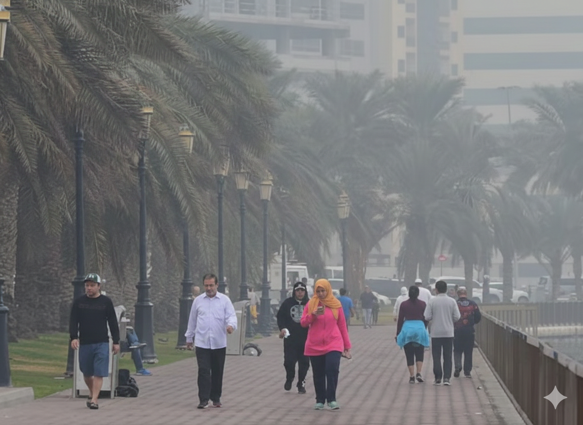
Dusty conditions in some places
The NCM has also warned of dusty conditions as winds strengthen throughout the day.
Light to moderate southeasterly winds are expected to shift northwesterly, reaching speeds of up to 40km/h in some areas. These stronger winds could lift dust and sand, particularly in exposed and open areas, reducing visibility for motorists.
Drivers are advised to remain cautious on the roads and stay alert to changing visibility conditions.
Calm seas
For those planning a seaside outing, conditions are expected to remain relatively stable.
The Arabian Gulf is forecast to experience slight seas, with wave heights between two and three feet. Meanwhile, the Sea of Oman is expected to be slightly rougher, with slight to moderate conditions and waves reaching up to four feet.
With temperatures remaining firmly in the mid-40s, any rainfall over the eastern regions will provide a welcome break from the summer heat, even if only temporarily.


 Entertainment5 months ago
 News6 months ago
 Announcements6 months ago