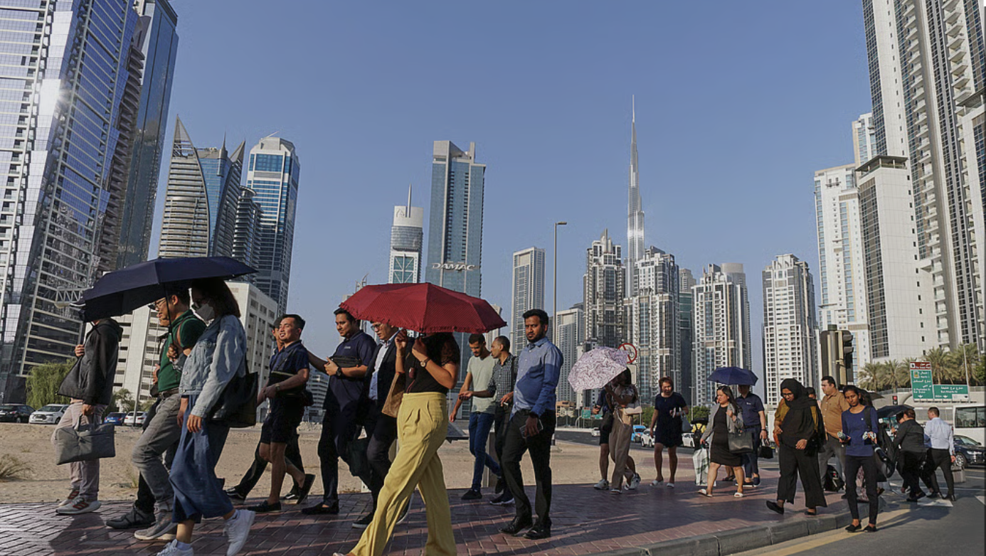
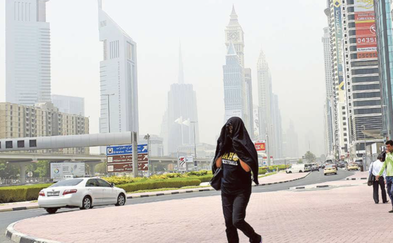
A powerful cold wave is set to sweep across the UAE this week, bringing heavy rain, gusty winds, rough seas and one of the sharpest temperature drops of the season.
According to the National Centre of Meteorology (NCM), a surface low-pressure system supported by an upper-level trough and a deep cold air mass will affect the country from Wednesday, March 4, through Thursday, March 5.
Forecasters warn that cold conditions may continue into the weekend. They say this is among the more defined cold spells of the current season. Nights on Thursday and Friday are expected to be particularly chilly.
Another cold wave may follow shortly after, suggesting the cooler pattern could extend beyond just a few days. Marine conditions are also set to deteriorate. Beachgoers and water sports enthusiasts are urged to monitor official marine updates before heading out.
Why is it getting so cold?
Weather models show a strong cold air push into the Arabian Peninsula.
This week and next:
Daytime highs will fall below seasonal averages
Nights and early mornings will feel significantly colder
Once the wind shifts from southeasterly to northwesterly, temperatures are expected to drop quickly.
Expected wet days
Rainfall is expected across scattered parts of the country during the Wednesday–Thursday period.
Most active period:
Thursday night into Friday night
Peak intensity: Midnight to early morning hours
Northern and eastern regions may see heavier bursts of rain.
Motorists commuting before dawn are advised to drive carefully due to wet roads and possible reduced visibility.
Strong winds and blowing dust
Winds are forecast to strengthen as the system develops.
Expect:
Moderate to fresh gusts
Possible strong winds in open areas
Blowing dust across desert highways
Sudden drops in visibility inland
Drivers should remain alert, especially outside city centres.
What residents should do
Check updated forecasts daily
Drive cautiously during rain and dust
Avoid sea activities in rough conditions
Dress warmly during early mornings and nights
What to expect this weekend
The unsettled weather may continue through the weekend, with lingering showers, cooler temperatures and persistent northwesterly winds. Families planning outdoor activities are advised to stay up to date, as conditions may shift.
With over 35 years of experience in journalism, copywriting, and PR, Michael Gomes is a seasoned media professional deeply rooted in the UAE’s print and digital landscape.
Residents across the UAE can expect foggy conditions to continue into Wednesday morning, February 25, according to the National Centre of Meteorology (NCM).
The NCM said fair to partly cloudy skies will prevail at times, but early hours are likely to see fog or mist forming over internal areas. Humidity levels are expected to increase overnight and into Thursday morning, raising the risk of reduced visibility once again.
Morning fog risk
The fog is expected during late-night and early-morning hours, particularly in inland regions, potentially affecting visibility for commuters. Motorists are advised to exercise caution and monitor official weather alerts before heading out.
Rising temperatures
Temperatures are gradually climbing across the country:
Abu Dhabi: High of 31°C, low of 17°C
Sharjah: High of 31°C, low of 11°C
Dubai: High of 32°C, low of 19°C
Despite the warmer daytime conditions, humidity will contribute to hazy and misty conditions during early hours.
Winds and Sea Conditions
Light to moderate winds will blow from southeasterly to northwesterly directions, with speeds ranging between 10 km/h and 25 km/h. At times, winds may strengthen to reach up to 40 km/h.
Sea conditions in the Arabian Gulf will be slight to moderate, becoming gradually rough by night, while the Oman Sea will remain slight.
Authorities continue to advise residents to stay updated with official forecasts, especially during early morning hours when fog formation is most likely.
Residents in Dubai woke up on Tuesday morning to unusually dense fog that blanketed much of the emirate, sharply reducing visibility and affecting road and air travel across the region.
Sheikh Hamdan bin Mohammed bin Rashid Al Maktoum, Crown Prince of Dubai, Deputy Prime Minister and Minister of Defence, and Chairman of the Executive Council of Dubai shared a striking image on his official Instagram account, capturing Dubai’s iconic skyline, including the Burj Khalifa and Burj Al Arab, emerging above a thick layer of white mist as the fog settled over the city. The photograph quickly circulated online, highlighting the dramatic weather conditions.
Sheikh Hamdan’s shared image drew attention to the rare visual phenomenon of Dubai’s skyline appearing almost like an island of skyscrapers above a sea of morning mist, a reminder of the seasonal weather patterns that can occur in the UAE.
Visibility drops and travel disruption
The National Centre of Meteorology (NCM) had issued a visibility warning early Tuesday, with fog expected to linger until around 10am, significantly impacting morning commutes. Heavy fog was reported across Dubai and neighbouring emirates, including Sharjah and Abu Dhabi, with visibility dropping to just a few hundred metres in some areas.
Traffic authorities urged motorists to reduce speed, use fog lights, and maintain safe following distances, as dense patches caused slower-than-usual travel conditions on major routes such as the E311 Emirates Road.
The morning fog also affected travel at Dubai International Airport, where some arrivals and departures were delayed due to limited visibility. Passengers were advised to check the status of flights before travelling to the airport.
According to the NCM’s five-day national forecast, the current alert follows a period of fluctuating temperatures and changing maritime conditions.
While Tuesday is expected to see a rise in temperatures under fair to partly cloudy skies, humidity will build overnight, increasing the risk of mist formation across western coastal regions into Wednesday morning.
On Wednesday, similar conditions are forecast, with overnight and early Thursday humidity bringing a risk of mist in some internal areas. Southeasterly winds will shift north-westerly and freshen westwards by night, reaching speeds of up to 40 km/h. Seas will build from slight to moderate, becoming rough in the Arabian Gulf by night.
Temperatures are expected to ease on Thursday under fair to partly cloudy skies, with inland areas facing a risk of fog overnight into Friday. North-westerly to south-westerly winds may again reach up to 40 km/h. Sea conditions are forecast to remain moderate to rough in the Arabian Gulf, with rough seas developing in the Oman Sea by evening.
On Friday, skies will stay fair to partly cloudy, especially westwards, while rough morning seas are expected to subside gradually.
By Saturday, temperatures will edge up once more under fair to partly cloudy skies, accompanied by lighter winds and slight to moderate seas.
Safety advice and forecast
Authorities urged drivers, especially on school bus routes and early commuters, to take extra care on the roads. The visibility advisory is expected to ease as the fog lifts later in the morning, while weather forecasts suggest fair to partly cloudy conditions with rising temperatures throughout the day.
The National Centre of Meteorology (NCM) has forecast generally moderate weather conditions across the UAE during Ramadan 2026, which falls in the second half of February and the first half of March.
Moderate days, cooler nights
Daytime temperatures are expected to remain moderate during the first half of Ramadan, with a slight rise anticipated toward the end of the month. Nights will be pleasant overall, turning relatively cool during late-night and early-morning hours, particularly in inland and mountainous areas.
According to climatological data, average maximum temperatures will range between 26°C and 32°C, with some inland areas potentially reaching up to 40°C at midday.
Average minimum temperatures are expected to range between 18°C and 21°C, while certain mountainous and inland locations could see temperatures drop to near or below 0°C in the early morning.
Rainfall outlook
Weather patterns during this period are typically influenced by the Siberian High pressure system, which can occasionally weaken, allowing low-pressure systems to move across the region. If combined with upper-level troughs, these systems may increase cloud formation and bring rainfall.
However, long-term forecasts indicate that rainfall is expected to be around or below the seasonal average of 8mm for the month. For comparison, the highest 24-hour rainfall recorded during this period reached 287.6mm in Al Shuwaib on March 9, 2016.
Fog, humidity and winds
Humidity levels are likely to increase during nighttime and early morning hours, creating favourable conditions for fog and mist in some areas.
Average maximum relative humidity: 70–85% (night and early morning)
Average minimum relative humidity: 20–35% (daytime)
Winds are expected to be southeasterly during the night and morning, shifting to northwesterly in the afternoon and evening due to land and sea breeze circulation.
The average wind speed is around 13 km/h, though stronger winds may occur with active weather systems, potentially causing blowing dust and sand in exposed areas. The strongest recorded gust during this period reached 141 km/h at Jebel Mebreh on February 27, 2010.
Fasting hours in the UAE
Fasting hours at the start of Ramadan will be approximately 12 hours and 46 minutes, gradually increasing to around 13 hours and 25 minutes by the end of the month, based on Abu Dhabi and surrounding areas. Minor variations may occur depending on location.